 |
      |
| Home > California > Clear Creek |
Clear Creek Management Area
Saturday, December 23, 2023
| Other Names | Clear Creek Recreation Area, Clear Creek Motorized Trail, Oak Flat, Oak Flat Campground, Jade Mill Recreation Site, Prospector Hill, Goat Mountain, Halfway Hill, Indian Hill, North Quicksilver Hill, San Benito Mountain, San Carlos Peak, San Carlos Creek, Cinnibar Hill |
| Last Known Status | Closed (open for non-motorized recreation, with some exceptions) |
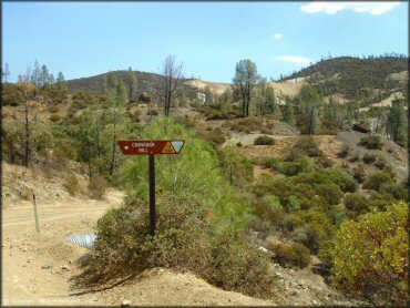
After a long period of closure the BLM has reopened portions of the Clear Creek Management Area to the general public for non-motorized activities. Highway legal vehicles are permitted on much of the 32 miles of major roads within the Serpentine ACEC Area and can be used for access but many important new restrictions make it clear the area is no longer intended for recreational motorized use.
Only highway licensed vehicles are permitted in the Clear Creek Management Area and all vehicles must remain on designated roads. Vehicles used for touring must obtain a permit prior to visiting and vehicle touring is limited to just five days per year.
Additional restrictions may also be in effect so for more information always contact the Central Coast Field Office before visiting.
REGULATIONS
| Permit Required | Yes | Open 5 days per year for vehicle touring by special permit only |
| Dates Open | Open 5 days per year for vehicle touring by special permit only. | |
| Other ATV Stickers Accepted | Yes | Residents of any state not listed must purchase a Nonresident OHV Use Permit. (AR, AZ, CA, CO, CT, DE, IA, ID, IN, LA, MA, MD, ME, MI, MN, MO, MT, ND, NH, NJ, NM, NV, NY, OH, OK, OR, PA, RI, TX, UT, VT, WA, WI, WY) |
| Spark Arrestor | Yes | A spark arresting exhaust silencer or end cap is required for all vehicles. does not apply (area open to highway legal vehicles only) |
| Noise Limit | No | does not apply (area open to highway legal vehicles only) |
| Whip Flags | Not Required | |
| Maximum Vehicle Width | ||
 Motorcycles & Dirt Bikes Motorcycles & Dirt Bikes | Prohibited | highway licensed only, for access only, not for recreation |
 ATVs ATVs | Prohibited | |
 UTV & SXS UTV & SXS | Prohibited | |
 SUVs & Jeeps (registered) SUVs & Jeeps (registered) | Prohibited | highway licensed only, for access only, not for recreation |
| Dune Buggy & Sand Rail 4x4 (unregistered) | Prohibited | |
| 2 Stroke Engines | Prohibited | |
| MX Helmet Required | Yes | motorcycle helmets are required by state law |
 Camping Camping | Prohibited | |
 Campfires Campfires | Prohibited | |
| Night Riding | No | day use only |
| Trail Blazing | Prohibited | keep on designated trails |
| Alcohol | Prohibited | |
| Rule Enforcement | Some | Dedicated Rangers/Officers On-Site Office/Station Jeep/SUV Patrol Gate Inspection |
| Comment | Only highway licensed motorcycles and vehicles are allowed and must remain on the main road. Motorized recreation or offroading is no longer permitted. | |
TERRAIN
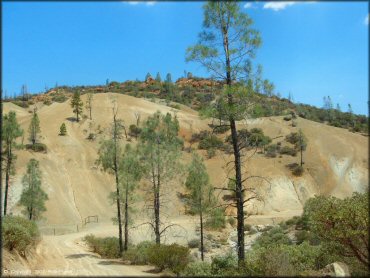
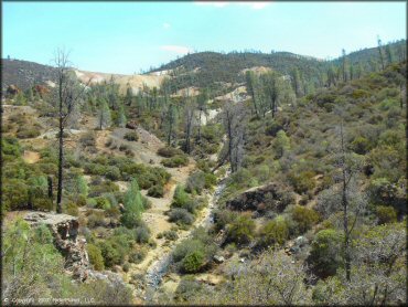
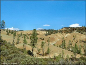
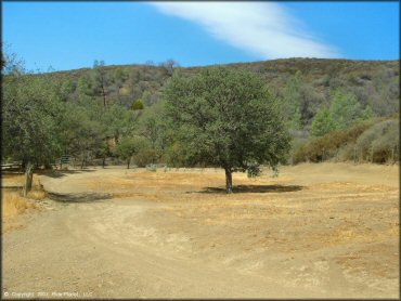
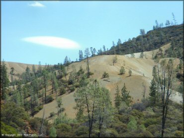
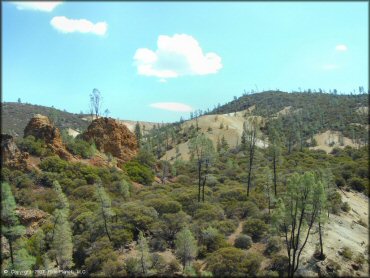
| Approx Size | 63,000 acres (98 sq mi) | |
| Climate Type | Forest | |
| Elevation | 1830 to 5241 ft. | |
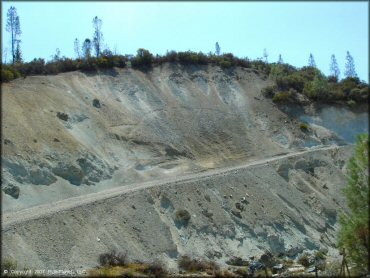
| Trail Maintenance | Not Marked, Not Rated, Heavily Maintained | roads only, there are no longer any motorized trails. |
| Loose Dirt |  None None | |
| Hard Pack |  All All | |
| Sand | None | |
| Mud | None | |
| Dust |  Some Some | |
| Rocks | None | |
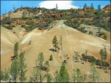
| Trees |  Many Many | |
| Steep Hills | None | |
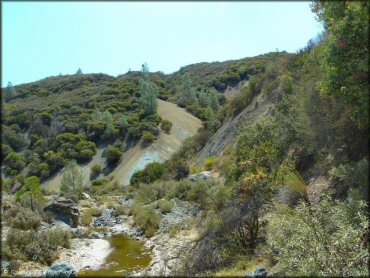
| Water Crossings |  Few Few | |
| Small Jumps | None | |
| Large Jumps | None | |
| Berms | None | |
| Sand/Gravel Pits | None | |
| Single Track | None | |
| Roads | All | |
| Intersections | Some | |
| Rider Traffic | None | |
| Shade | Few | |
| Ranges/Gunfire | None | |
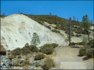
| Hazards | Some | (hazards are marked) asbestos |
 Novice Novice | All | |
 Amateur Amateur | None | |
 Expert Expert | None |
TYPE OF AREA
| Area | Motorized Trails |
| Land | BLM |


KEY SERVICES
 Gasoline Gasoline | 30+ Miles (NW) | Hollister |
| Diesel | 30+ Miles (NW) | Hollister |
 Water Water | 30+ Miles (NW) | Hollister |
 RV Hookup RV Hookup | 30+ Miles (SW) | San Lorenzo Park Campground (831) 755-4899 or (831) 755-4895 |
 RV Disposal RV Disposal | 30+ Miles (SW) | San Lorenzo Park Campground (831) 755-4899 or (831) 755-4895 |
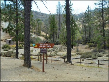
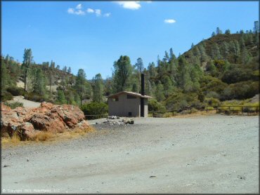
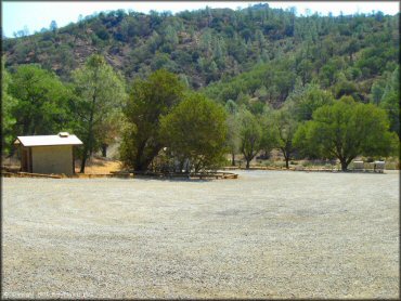
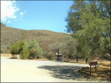
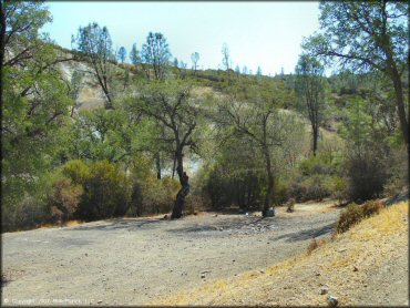
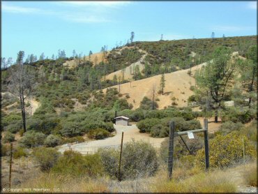
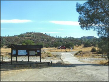
| Campground | On Site | |
 Conv Store Conv Store | 30+ Miles (NW) | Tres Pinos |
FEES & PASSES
| Parking | (None) |
| Entry | Yes ($5.00 per vehicle) good for one week |
| Riding | (None) |
| Camping | (None) |
RATINGS
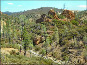
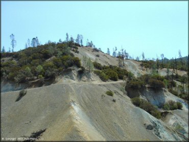
| Pros | large area, good scenery |
| Cons | no water, asbestos contamination issues, severe restrictions for motorized use |
| Our Rating |  Fair Fair |
| Recommended Stay | Full Day Spring/Fall |
| Comments | (Scroll Down For Rider Reviews & Comments) |
DRIVING DIRECTIONS
| Nearest City | Hollister, CA | ||
| From: Hollister, CA
1) Take I-25 South about 40 miles 2) Turn left on Coalinga-Los Gatos Creek Road, continue about 16 miles 3) Turn left on Clear Creek Road (you will see a kiosk and a BLM sign for Clear Creek Management Area) |


OFFICIAL CONTACTS
| Contact Info | BLM - Central Coast Field Office 940 2nd Ave Marina, CA 93933 (831) 582-2200 blm_ca_web_cc@blm.gov www.blm.gov |
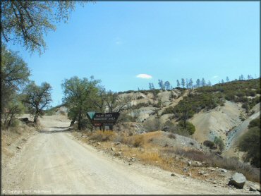
Clear Creek Trail Photo
Clear Creek Trail Photo
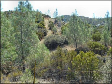
Clear Creek Trail Photo
Clear Creek Trail Photo
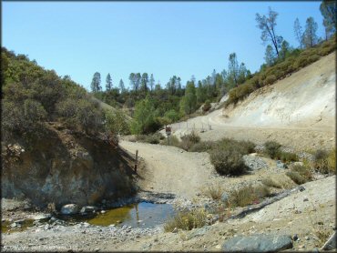
Clear Creek Trail Photo
Clear Creek Trail Photo
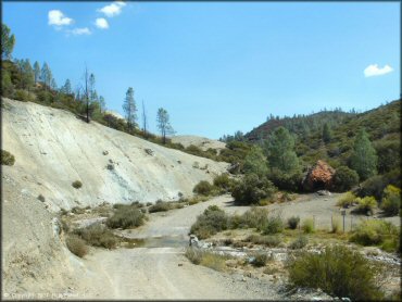
Clear Creek Trail Photo
Clear Creek Trail Photo
Clear Creek Trail Photo
Clear Creek Trail Photo
Clear Creek Trail Photo
Clear Creek Trail Photo
Clear Creek Trail Photo
Clear Creek Trail Photo
Clear Creek Trail Photo
Clear Creek Trail Photo
Clear Creek Trail Photo
Clear Creek Trail Photo
Clear Creek Trail Photo
Clear Creek Trail Photo
Clear Creek Trail Photo
Clear Creek Trail Photo
Clear Creek Trail Photo
Clear Creek Trail Photo
RIDER COMMENTS & REVIEWS