 |
      |
| Home > California > Corral OHV |
Corral OHV Trail
Saturday, December 23, 2023
| Other Names | Lake Tahoe Basin Management Unit, Oneida Street, Saxon Creek, Trimmer Peak, Fountain Place, Freel Peak, Hell Hole, Toads Trail, Powerline Road, Sidewinder, Cedar Trail |
| Last Known Status | Closed For Season |
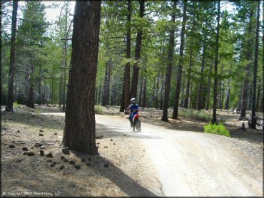
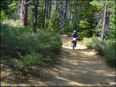
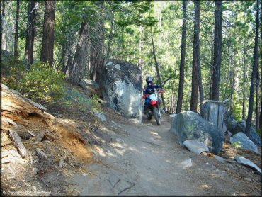
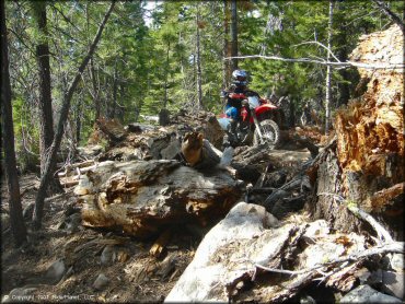
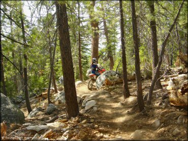
This small area consists of two main trails. The first is a power line road that is mostly wide hard pack, and the second is about three miles of pure single track. The single track trail is mostly smooth and it winds through a dense pine conifer forest.
The whole area can be covered in less than an hour but the scenery is top notch. The trails and staging areas are open for day use only, but camping can be found at nearby Luther Pass, Blackwood Canyon and Watson Lake.
Note that this trail system is regularly patrolled by rangers who check for stickers and spark arrestors.
REGULATIONS
| Permit Required | Yes | CA OHMVR stickers required regularly enforced, expect to be stopped |
| Dates Open | May - November | CA OHMVR red sticker vehicles permitted from 5/25 to 11/15 |
| Other ATV Stickers Accepted | Yes | Residents of any state not listed must purchase a Nonresident OHV Use Permit. (AR, AZ, CA, CO, CT, DE, IA, ID, IN, LA, MA, MD, ME, MI, MN, MO, MT, ND, NH, NJ, NM, NV, NY, OH, OK, OR, PA, RI, TX, UT, VT, WA, WI, WY) |
| Spark Arrestor | Yes | A spark arresting exhaust silencer or end cap is required for all vehicles. |
| Noise Limit | Yes (96 dB) | CA OHMVR noise limits apply (1985/older limit 101 dB, 1986/newer limit 96 dB) |
| Whip Flags | Not Required | |
| Maximum Vehicle Width | Yes (50 inches) | narrow terrain |
 Motorcycles & Dirt Bikes Motorcycles & Dirt Bikes | Permitted | CA OHMVR stickers required |
 ATVs ATVs | Some Areas | CA OHMVR stickers required (maximum width 50 inches) there is some single track that is too narrow for quads |
 UTV & SXS UTV & SXS | Some Areas | CA OHMVR stickers required (maximum width 50 inches) there is some single track that is too narrow |
 SUVs & Jeeps (registered) SUVs & Jeeps (registered) | Some Areas | Not Recommended a couple of mild jeep trails |
| Dune Buggy & Sand Rail 4x4 (unregistered) | Prohibited | CA OHMVR stickers required |
| 2 Stroke Engines | Certain Times | CA OHMVR restrictions apply |
| MX Helmet Required | Yes | helmets required by state law |
 Camping Camping | Prohibited | day use only |
 Campfires Campfires | Prohibited | |
| Night Riding | No | |
| Trail Blazing | Prohibited | keep on designated trails |
| Alcohol | No Restriction | |
| Rule Enforcement | Some | Armed OfficersJeep/SUV Patrol regular patrol on weekends, sticker checks very common |
| Comment | heavily patrolled, will check for stickers | |
TERRAIN
| Approx Size | 2,560 acres (4 sq mi) | |
| Miles Of Trail | 5 | |
| Climate Type | Forest | |
| Elevation | 6400 to 7100 ft. | |
| Trail Maintenance | Marked, Rated, Heavily Maintained | |
| Loose Dirt |  Mostly Mostly | |
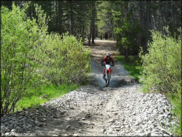
| Hard Pack |  Some Some | Powerline Road is mostly hard pack, Corral Trail is soft dirt |
| Sand |  None None | |
| Mud |  Little Little | |
| Dust | Little | |
| Rocks | Little | |
| Trees |  All All | |
| Steep Hills | None | |
| Water Crossings |  Few Few | Toads Trail |
| Small Jumps | Few | |
| Large Jumps | None | |
| Berms |  Many Many | |
| Sand/Gravel Pits | None | |
| Single Track | Some | Corral Trail is pure single track, smooth & twisty |
| Roads | Few | |
| Intersections | Few | |
| Rider Traffic | Some | expect a few mountain bikers |
| Shade | All | |
| Ranges/Gunfire | None | |
| Hazards | Few | (hazards not marked) oncoming traffic on single track, mountain bikers |
 Novice Novice | Some | |
 Amateur Amateur | Mostly | |
 Expert Expert | Little | |
| Comment | trails are fun but very short | |
TYPE OF AREA
| Area | Motorized Trails |
| Land | National Forest |
GPS POINTS


KEY SERVICES
 Gasoline Gasoline | 1-5 Miles (N) | South Lake Tahoe |
| Diesel | 1-5 Miles (N) | South Lake Tahoe |
 Water Water | 1-5 Miles (SW) | Lake Tahoe KOA (530) 577-3693 or (800) 562-3477 |
 RV Hookup RV Hookup | 1-5 Miles (SW) | Lake Tahoe KOA (530) 577-3693 or (800) 562-3477 |
 RV Disposal RV Disposal | 1-5 Miles (SW) | Lake Tahoe KOA (530) 577-3693 or (800) 562-3477 |
| Campground | 1-5 Miles (SW) | Lake Tahoe KOA (530) 577-3693 or (800) 562-3477 |
 Conv Store Conv Store | 1-5 Miles (N) | South Lake Tahoe |
FEES & PASSES
| Parking | (None) |
| Entry | (None) |
| Riding | (None) |
| Camping | (None) |
RATINGS
| Pros | free, beautiful forest scenery, mostly single track trails |
| Cons | day use only, not enough trails, not long enough, trails are not one way, camping is prohibited |
| Our Rating |  Very Good Very GoodHigh quality, but not a lot of trails |
| Recommended Stay | Half Day High quality, but not a lot of trails |
| Comments | (Scroll Down For Rider Reviews & Comments) |
DRIVING DIRECTIONS
| Nearest City | South Lake Tahoe, CA | ||
| From: South Lake Tahoe, CA
1) Take US-50 West about 5 miles 2) Turn left (east) on Pioneer Trail, continue .8 miles 3) Turn right on Oneidas Street, continue straight until you see a gated entrance, proceed through 4) Stay on paved road for about .5 miles, main staging area for the Corral Trail System is on the LEFT* *Note: The first large parking area on the right has access to Toads trail which leads to the Saxon Creek trail (ISE13) but because this route is now closed to motorized vehicles, it does not make sense to stage here. Proceed further to the Coral Trail System staging area on the left (as described above). |


OFFICIAL CONTACTS
| Contact Info | Lake Tahoe Basin Management Unit 35 College Drive South Lake Tahoe, CA 96150 (530) 543-2600 sm.fs.paltbmu@usda.gov www.fs.usda.gov |
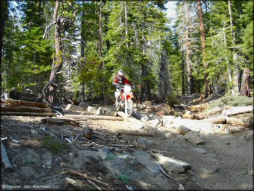
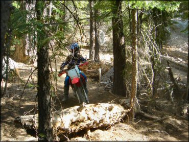
Corral OHV Trail Photo
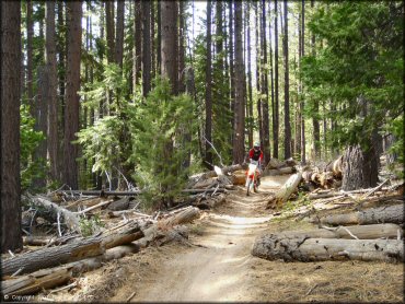
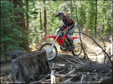
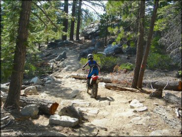
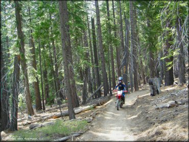
Trails are well marked and maintained. Any logs are cut/moved leaving a fast and smooth trail with many turns.
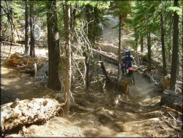
Corral OHV Trail Photo
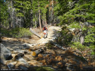
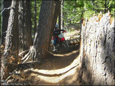
Corral OHV Trail Photo
There is one small stream crossing. All others are bridged.
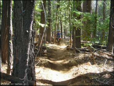
Corral OHV Trail Photo
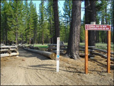
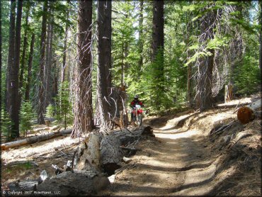
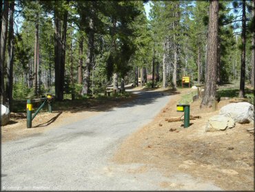
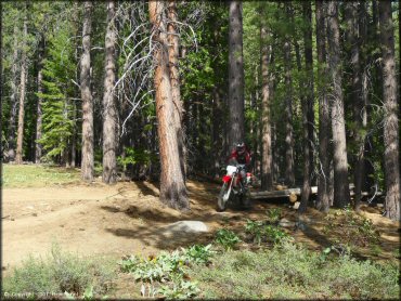
Shortly after the powerline trail starts, look to the right for this single track trailhead. The best trails begin here.
Corral OHV Trail Photo
Corral OHV Trail Photo
Corral OHV Trail Photo
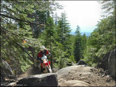
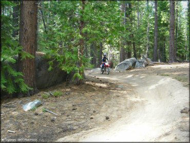
Corral Trail gently climbs to a peak of about 7100 feet
Corral OHV Trail Photo
Corral OHV Trail Photo
Corral OHV Trail Photo
Corral OHV Trail Photo
Corral OHV Trail Photo
Corral OHV Trail Photo
Corral OHV Trail Photo
Corral OHV Trail Photo
Corral OHV Trail Photo
Corral OHV Trail Photo
Corral OHV Trail Photo
Corral OHV Trail Photo
Corral OHV Trail Photo
Corral OHV Trail Photo
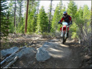
Corral OHV Trail Photo
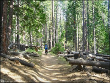
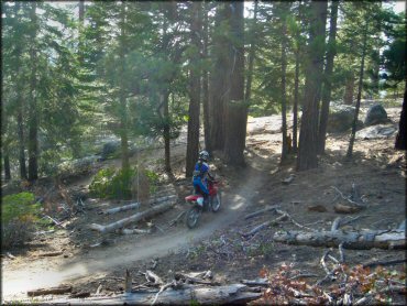
Corral Trail has a long series of gentle switch-backs and hairpin bends where you'll pass by the riders in front or behind you.
Corral OHV Trail Photo
Corral OHV Trail Photo
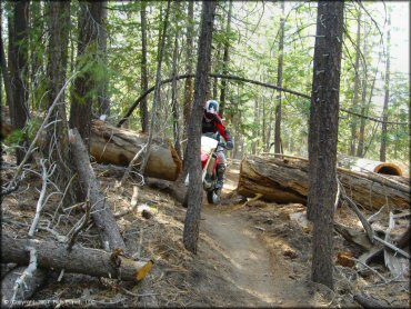
Corral trail gets very narrow. Quads are not recommended.
Corral OHV Trail Photo
Corral OHV Trail Photo
RIDER COMMENTS & REVIEWS