 |
      |
| Home > Massachusetts > Franklin Trails |
Franklin Trails
Sunday, February 25, 2024
| Other Names | Franklin State Forest, Forge Hill |
| Last Known Status | Closed For Season |
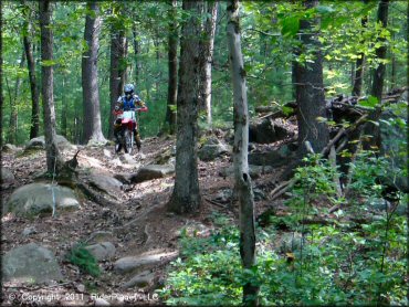
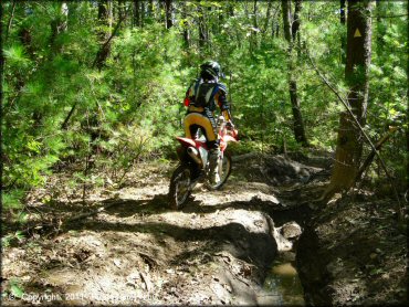
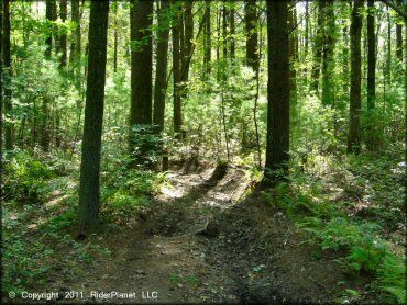
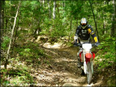
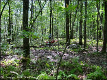
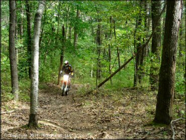
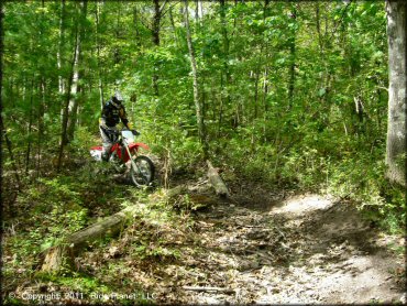
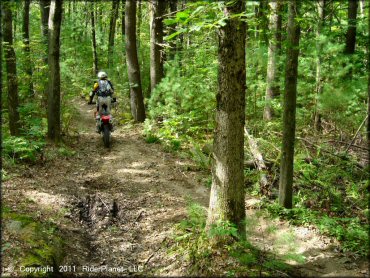
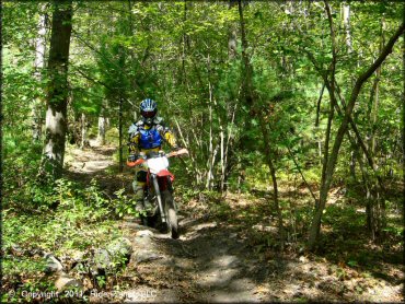
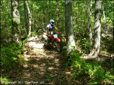
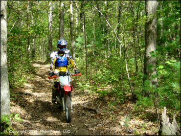
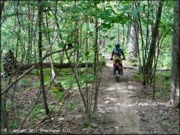
This wooded area in southeastern Massachusetts has just a few miles of fairly easy and flat single track. The main loop has the usual rocks and roots but nothing too challenging.
This is a decent place to bring kids and beginners since there are just enough rocks, roots and mud to make it interesting but very few hills, nothing steep, and nothing is without a bypass.
Note that the parking space is very limited (park curbside on the road across from the water tower or on the dirt in front of the radio tower). This is only about a 30 minute to 1 hour ride at best so don't plan a big trip here.
REGULATIONS
| Permit Required | Yes | Massachusetts Registration Sticker |
| Dates Open | May 1 through last Sunday in November | |
| Other ATV Stickers Accepted | No | Motorcycles must be registered in Massachusetts, no reciprocity with other states. |
| Spark Arrestor | Yes | A spark arresting exhaust silencer or end cap is required for all vehicles. |
| Noise Limit | Yes (96 dB) | |
| Whip Flags | Not Required | |
| Maximum Vehicle Width | ||
 Motorcycles & Dirt Bikes Motorcycles & Dirt Bikes | Permitted | |
 ATVs ATVs | Prohibited | |
 UTV & SXS UTV & SXS | Prohibited | |
 SUVs & Jeeps (registered) SUVs & Jeeps (registered) | Prohibited | |
| Dune Buggy & Sand Rail 4x4 (unregistered) | Prohibited | |
| 2 Stroke Engines | No Restriction | |
| MX Helmet Required | Yes | required by state law |
 Camping Camping | Prohibited | |
 Campfires Campfires | Prohibited | |
| Night Riding | No | riding hours dawn to dusk |
| Trail Blazing | Prohibited | stay on trails |
| Alcohol | Prohibited | |
| Rule Enforcement | Few/Periodic | Dedicated Rangers/Officers |
TERRAIN
| Approx Size | 843 acres (1 sq mi) | |
| Miles Of Trail | 8 | |
| Climate Type | Forest | |
| Elevation | 250 to 350 ft. | |
| Trail Maintenance | Marked, Not Rated, Lightly Maintained | |
| Loose Dirt |  Little Little | |
| Hard Pack |  Mostly Mostly | |
| Sand |  None None | |
| Mud |  Some Some | |
| Dust | Little | |
| Rocks | Little | |
| Trees |  All All | |
| Steep Hills | None | |
| Water Crossings |  Few Few | |
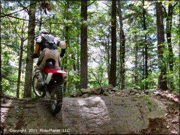
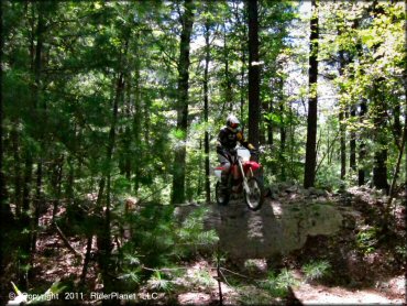
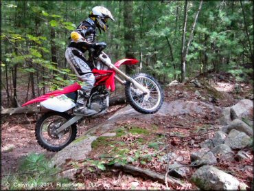
| Small Jumps | Few | has one large rock step-off that you can jump from (or bypass) |
| Large Jumps | None | |
| Berms | Few | |
| Sand/Gravel Pits | None | |
| Single Track |  Many Many | |
| Roads | None | |
| Intersections | Some | |
| Rider Traffic | Few | |
| Shade | Some | |
| Ranges/Gunfire | None | |
| Hazards | None | |
 Novice Novice | Mostly | |
 Amateur Amateur | Little | |
 Expert Expert | None |
TYPE OF AREA
| Area | Motorized Trails |
| Land | State Forest |
GPS POINTS


KEY SERVICES
 Gasoline Gasoline | 1-5 Miles (N) | Franklin Mobil (508) 520-1588 |
| Diesel | 1-5 Miles (N) | Franklin |
 Water Water | 1-5 Miles (E) | Franklin |
 RV Hookup RV Hookup | 5-20 Miles (SE) | Canoe River Campground (508) 339-6462 |
 RV Disposal RV Disposal | 5-20 Miles (SE) | Canoe River Campground (508) 339-6462 |
| Campground | 5-20 Miles (SE) | Normandy Farms Family Camping Resort (508) 543-7600 |
 Conv Store Conv Store | 1-5 Miles (E) | Old Gold Convenience Store (508) 520-0481 |
FEES & PASSES
| Parking | (None) |
| Entry | (None) |
| Riding | (None) |
| Camping | (None) |
RATINGS
| Pros | scenic forest |
| Cons | small area, not many trails, parking is limited |
| Our Rating |  Good Good |
| Recommended Stay | Half Day |
| Comments | (Scroll Down For Rider Reviews & Comments) |
DRIVING DIRECTIONS
| Nearest City | Franklin, MA | ||
| Address | Forge Hill Road, Franklin, MA 02038 | ||
| From: Milford, MA
1) Take I-495 South to Exit 17 2) Turn right (west) off the exit ramp, continue about 100 yards 3) Turn left at the T-intersection, continue about .3 miles 4) Turn right on Forge Hill Road, continue about .8 miles 5) Parking is adjacent across from the water tower. |


OFFICIAL CONTACTS
| Contact Info | Franklin State Forest 45 Mill Street Foxboro, MA 02035 (508) 543-9084 f.g.hills@state.ma.us www.mass.gov |
| Contact Info | Massachusetts Environmental Police 251 Causeway Street, Suite 101 Boston, MA 02114 (617) 626-1610 www.mass.gov |
| Comment | motorcycle registration info |
Franklin Trails Photo
Franklin Trails Photo
Franklin Trails Photo
Franklin Trails Photo
Franklin Trails Photo
Franklin Trails Photo
Franklin Trails Photo
Franklin Trails Photo
Franklin Trails Photo
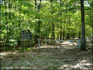
Enter here to access the trails.
Franklin Trails Photo
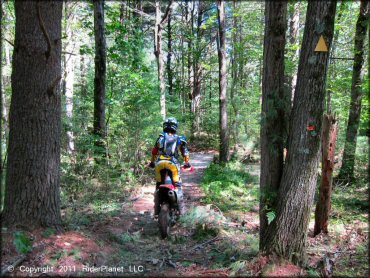
The trails are marked with yellow triangles.
Franklin Trails Photo
Franklin Trails Photo
Franklin Trails Photo
Franklin Trails Photo
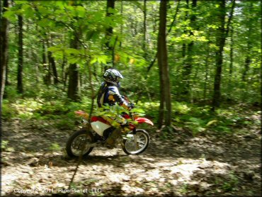
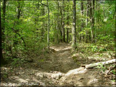
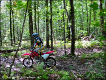
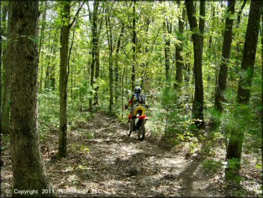
Just cruising through the woods!
Franklin Trails Photo
Franklin Trails Photo
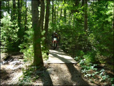
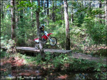
One of the bridge crossings.
Franklin Trails Photo
Franklin Trails Photo
Franklin Trails Photo
Franklin Trails Photo
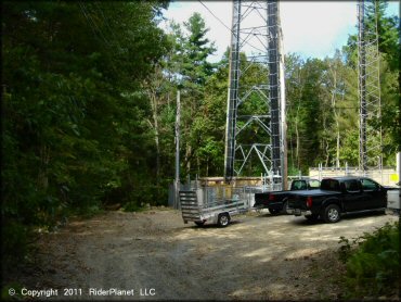
This is the alternate staging area if you do not want to park on the street.
Franklin Trails Photo
Franklin Trails Photo
Franklin Trails Photo
Franklin Trails Photo
Franklin Trails Photo
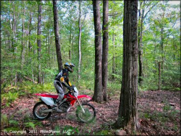
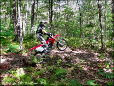
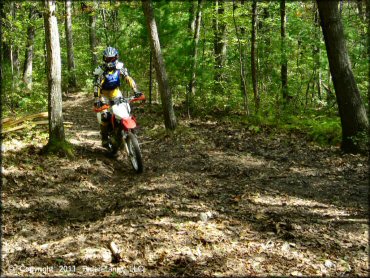
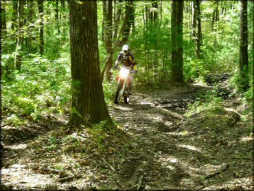
Nothing too challenging here.
Franklin Trails Photo
Franklin Trails Photo
Franklin Trails Photo
RIDER COMMENTS & REVIEWS