 |
      |
| Home > Nevada > Stead MX |
Stead MX
Saturday, December 23, 2023
| Other Names | Red Rock Road Exit, Lemmon Valley Motocross Track |
| Last Known Status | Open |
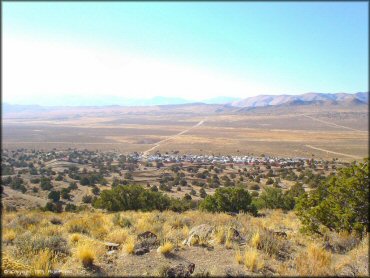
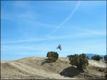
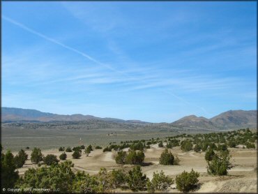
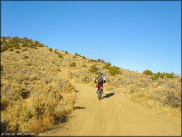
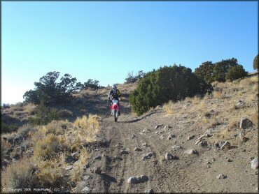
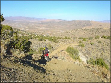
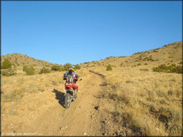
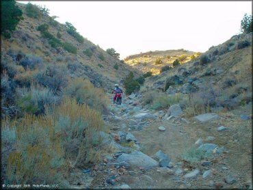
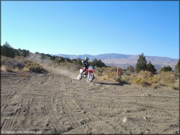
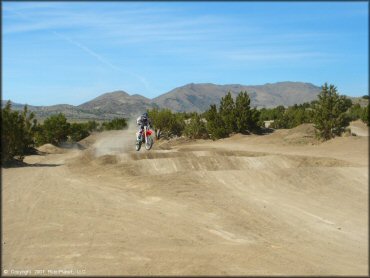
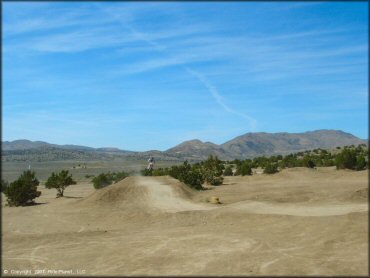
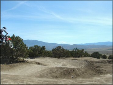
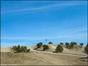
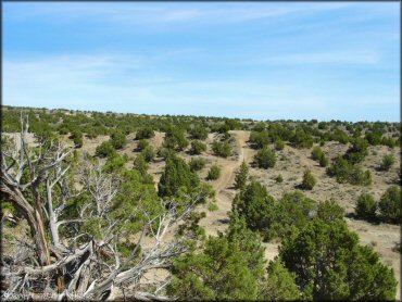
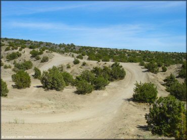
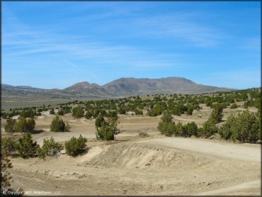
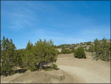
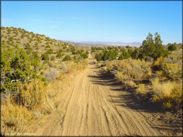
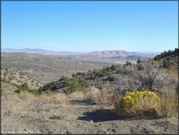
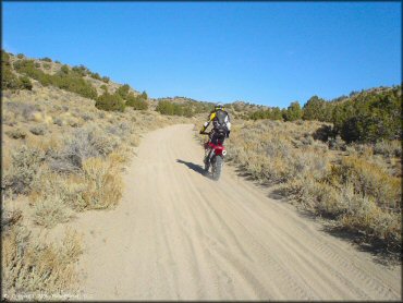
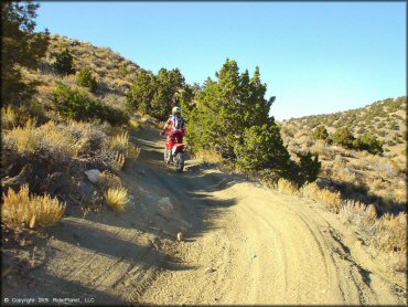
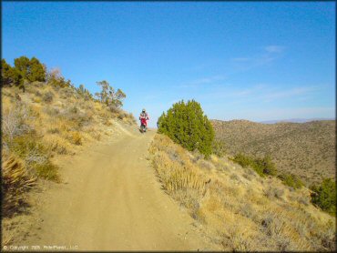
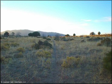
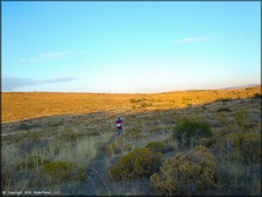
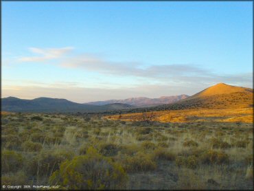
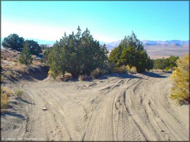
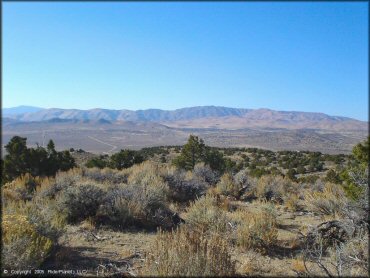
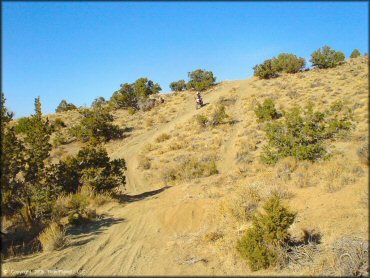
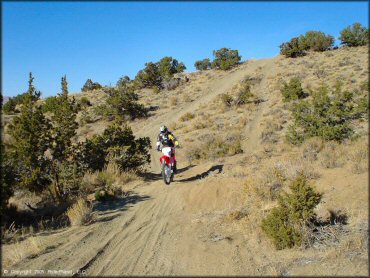
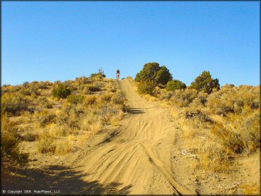
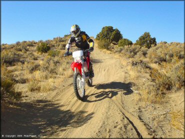
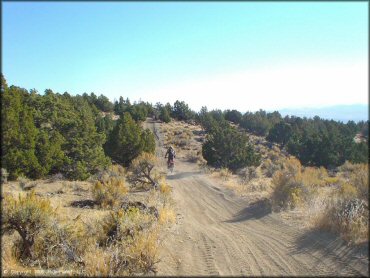
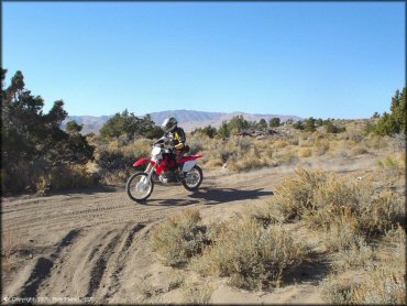
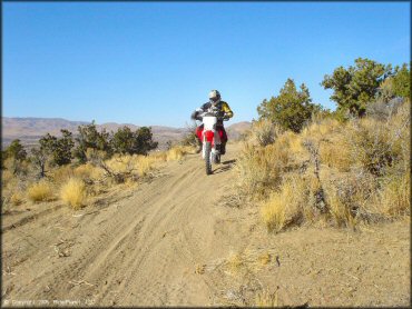
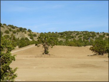
This area features an amateur motocross track and some surrounding desert trails. Most of the trails are a mix of sand washes and rocky, hard packed fire roads which are uninteresting, but it is possible to ride southeast, over the ridge and connect up with the trails in Hungry Valley.
The track is generally not groomed (except for races) so it is usually dry, dusty and very hard packed. Juniper trees are scattered throughout the staging area and around the track offering limited shade, but it’s still a good idea to bring a pop up tent or something similar.
The perimeter of the motocross track was fenced and gated a few years ago, so it’s possible that the area may close on short notice, likely during and after inclement weather.
The property has two gated entrances but recently we have received e-mails that the only entry is from the southwest corner off Lemmon Drive.
REGULATIONS
| Permit Required | Yes | NVOHV sticker required |
| Dates Open | Open daily, year-round. | |
| Other ATV Stickers Accepted | Yes | Nevada registration is not required if the vehicle is already registered in another state and will be located in Nevada for no more than 15 days. |
| Spark Arrestor | Yes | A spark arresting exhaust silencer or end cap is required for all vehicles. |
| Noise Limit | Yes (96 dB) | |
| Whip Flags | Not Required | |
| Maximum Vehicle Width | No Restriction | |
 Motorcycles & Dirt Bikes Motorcycles & Dirt Bikes | Permitted | |
 ATVs ATVs | Permitted | |
 UTV & SXS UTV & SXS | Some Areas | (assumed prohibited on track) |
 SUVs & Jeeps (registered) SUVs & Jeeps (registered) | Some Areas | permitted on surrounding trails |
| Dune Buggy & Sand Rail 4x4 (unregistered) | Some Areas | permitted on surrounding trails |
| 2 Stroke Engines | No Restriction | |
| MX Helmet Required | Yes | |
 Camping Camping | No Restriction | Not Recommended (camp anywhere) |
 Campfires Campfires | No Restriction | Not Recommended |
| Night Riding | Unknown | |
| Trail Blazing | Prohibited | keep on designated trails |
| Alcohol | Prohibited | |
| Rule Enforcement | Some |
TERRAIN
| Approx Size | 198 acres | |
| Miles Of Trail | 8 | |
| Climate Type | Desert | |
| Elevation | 5250 to 6000 ft. | |
| Trail Maintenance | Unknown | |
| Loose Dirt |  Some Some | |
| Hard Pack |  Mostly Mostly | |
| Sand | Some | |
| Mud |  Little Little | |
| Dust | Mostly | |
| Rocks | Mostly | |
| Trees |  Few Few | |
| Steep Hills | Few | |
| Water Crossings |  None None | |
| Small Jumps | Some | |
| Large Jumps | Few | |
| Berms | Some | |
| Sand/Gravel Pits | None | |
| Single Track | None | |
| Roads | Few | |
| Intersections |  Many Many | |
| Rider Traffic | Many | |
| Shade | None | |
| Ranges/Gunfire | None | |
| Hazards | None | |
 Novice Novice | Some | |
 Amateur Amateur | Mostly | |
 Expert Expert | Little |
TYPE OF AREA
| Area | Motorized Trails, MX Track |
| Land | BLM, Private |
| Comment | Track is located on BLM land but surrounding trails are on Reno-Tahoe Airport Authority land. |

| Features | Public |
| Max Engine Size | No Maximum |
| Min Engine Size | No Minimum |
GPS POINTS


KEY SERVICES
 Gasoline Gasoline | 5-20 Miles (S) | Texaco (775) 972-4649 |
| Diesel | 5-20 Miles (S) | Texaco (775) 972-4649 |
 Water Water | 5-20 Miles (SW) | Big Cove Campground (530) 836-2575 |
 RV Hookup RV Hookup | 5-20 Miles (SW) | Bordertown Casino RV Resort (800) 218-9339 |
 RV Disposal RV Disposal | 5-20 Miles (SW) | Bordertown Casino RV Resort (800) 218-9339 |
| Campground | 30+ Miles (NW) | Big Cove Campground (530) 836-2575 |
 Conv Store Conv Store | 1-5 Miles (S) | Mi Pueblo Market (775) 677-1100 |
FEES & PASSES
| Parking | (None) |
| Entry | Certain Times ($10.00 per person) fee charged only on race weekends |
| Riding | (None) |
| Camping | (None) |
RATINGS
| Pros | track is secluded, has a go-kart track nearby, access to the track is free (except on race weekends) plenty of trails outside of the track to explore |
| Cons | dry, dusty and rocky, amateur races are held on Sunday, to access the track is $10 per person, not that much interesting terrain in the immediate area |
| Our Rating |  Fair Fair |
| Recommended Stay | Half Day Spring/Fall |
| Comments | (Scroll Down For Rider Reviews & Comments) |
DRIVING DIRECTIONS
| Nearest City | Reno, NV | ||
| Address | Lemmon Valley Drive, Reno, NV 89506 | ||
| From: Reno, NV
1) Take 395 N to Exit 74/Lemmon Drive 2) Turn right (north) onto Lemmon Drive, continue 7.7 miles 3) Turn right (east) onto dirt road (look for white sign with address 14874 Lemmon), continue .3 miles toward gate 4) Proceed past gate, continue .1 mile 5) Turn left (north) on dirt road, follow toward track. |


OFFICIAL CONTACTS
| Contact Info | BLM - Carson City District Office 5665 Morgan Mill Road Carson City, NV 89701 (775) 861-6500 blm_nv_ccdowebmail@blm.gov www.blm.gov |
Stead MX OHV Area Photo
Stead MX OHV Area Photo
Stead MX OHV Area Photo
Stead MX OHV Area Photo
Stead MX OHV Area Photo
Stead MX OHV Area Photo
Stead MX OHV Area Photo
Stead MX OHV Area Photo
Stead MX OHV Area Photo
Stead MX OHV Area Photo
Stead MX OHV Area Photo
Stead MX OHV Area Photo
Stead MX OHV Area Photo
Stead MX OHV Area Photo
Stead MX OHV Area Photo
Stead MX OHV Area Photo
Stead MX OHV Area Photo
Stead MX OHV Area Photo
Stead MX OHV Area Photo
Stead MX OHV Area Photo
Stead MX OHV Area Photo
Stead MX OHV Area Photo
Stead MX OHV Area Photo
Stead MX OHV Area Photo
Stead MX OHV Area Photo
Stead MX OHV Area Photo
Stead MX OHV Area Photo
Stead MX OHV Area Photo
Stead MX OHV Area Photo
Stead MX OHV Area Photo
Stead MX OHV Area Photo
Stead MX OHV Area Photo
Stead MX OHV Area Photo
Stead MX OHV Area Photo
Stead MX OHV Area Photo
RIDER COMMENTS & REVIEWS