 |
      |
| Home > Oregon |
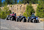
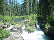 Prospect OHV Trail System
Status: Open
Type: Trail (National Forest)
Location: Prospect, OR
Difficulty:

When it comes to woods riding, this will always be among our top ten favorites. More...
 Radar Hill OHV Area
Status: Open
Type: Trail (BLM)
Location: Burns, OR
Difficulty:
This high desert offroad area has around 22 miles of marked, rated and looped trails. More...
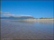
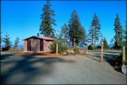
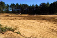 Riley Ranch County Park
 Status: Open
Type: Combo (County Land)
Location: North Bend, OR
Difficulty:
This county operated campground provides direct motorized access to the Oregon Dunes, a separate sandy motocross track that is about a mile long and a peewee track. More...
 Rock Creek OHV Area
 Status: Open
Type: Trail (National Forest)
Location: Tygh Valley, OR
Difficulty:

This part of the Mount Hood National Forest offers about 50 miles of designated motorized trails. More...
 Roseland Recreation Site
 Status: Open
Type: Trail (National Forest)
Location: La Pine, OR
Difficulty:
This locals favorite offers about 3.5 miles of marked and easy loop trails plus two play areas, one for novices and one for advanced riders. More...
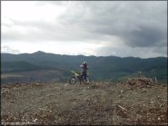
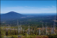 Santiam Pass OHV Area
 Status: Open
Type: Trail (National Forest)
Location: Cascadia, OR
Difficulty:
This area offers miles of ATV and forest service roads to explore that approach several eroded volcanic peaks that are scattered throughout the mixed fir and conifer pine trees. More...
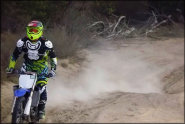
 Shotgun OHV Area
 Status: Open
Type: Trail (BLM)
Location: Marcola, OR
Difficulty:
This large area offers about 34 miles of marked and rated multiple-use trails. More...
 South Valley Resource Area
Status: Open
Type: Trail (BLM, parts of land are private)
Location: Cottage Grove, OR
Difficulty:
The trails found here are not much of a challenge, and many are dead ends. More...
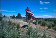
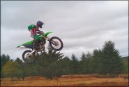 Territorial Motocross Park
 Status: Open
Type: Track (Privately Owned / Commercial)
Location: Junction City, OR
Difficulty:
This natural terrain track is located on a hillside and is 1.5 miles long. More...