 |
      |
| Home > Arizona > Hayfield Draw |
Hayfield Draw OHV Area
Sunday, May 31, 2026
| Other Names | Prescott National Forest, Cherry Creek Well, Hull Spring, Black Hills, Pfau Spring, Blue Monster Spring, Boulder Canyon, Verde Ranger District |
| Last Known Status | Closed For Season (closed for summer, will reopen Fall 2026) |
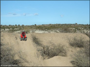
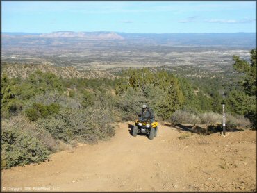
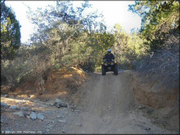
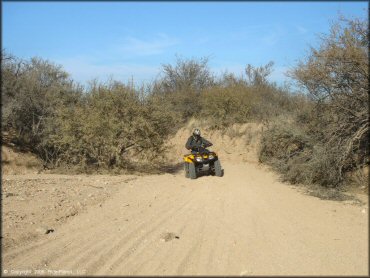
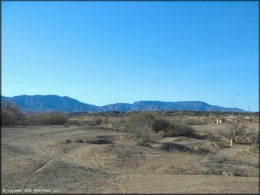
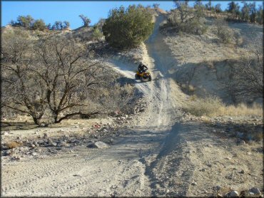
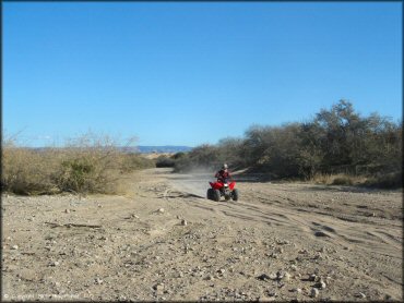
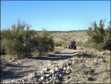
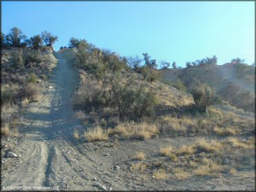
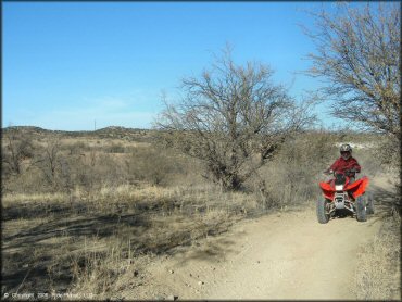
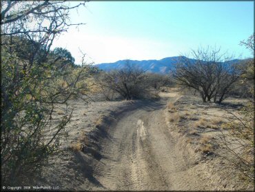
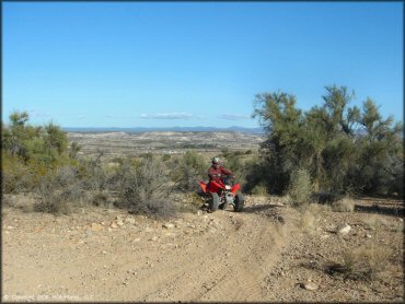
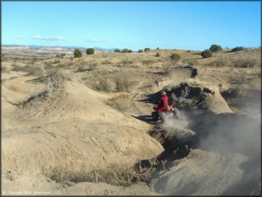
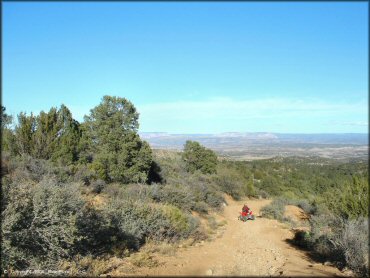
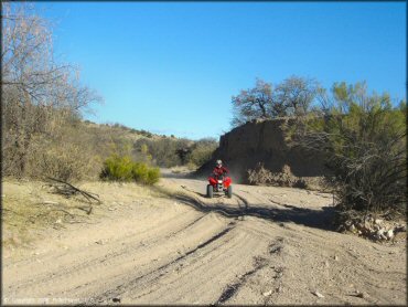
With a variety of play areas and a well maintained staging area featuring shaded tables, BBQ grills and restrooms, this is a great choice for a day of play with the kids. The main trail starts out as a long and easy sand wash then gets a little chunkier as it heads up into the hills. There is also an enclosed tot-lot for the kids with a circuit of rolling bumps and banked turns.
The trails are open daily but may close temporarily on short notice due to inclement weather so call first before heading out. Visitors should note that the area has a seasonal closure that begins in late May and generally ends in September (call for current conditions).
This area is for day use only but camping can be found about 10 miles north at Dead Horse Ranch Campground.
REGULATIONS
| Permit Required | Yes | AZGFD sticker required |
| Dates Open | September 1 - May 31 | |
| Other ATV Stickers Accepted | No | All non-residents must purchase an Arizona OHV decal. |
| Spark Arrestor | Yes | A spark arresting exhaust silencer or end cap is required for all vehicles. |
| Noise Limit | Yes (96 dB) | |
| Whip Flags | Not Required | |
| Maximum Vehicle Width | Yes (50 inches) | has entrance gate or posts |
 Motorcycles & Dirt Bikes Motorcycles & Dirt Bikes | Permitted | |
 ATVs ATVs | Permitted | (maximum width 50 inches) |
 UTV & SXS UTV & SXS | Permitted | (maximum width 50 inches) |
 SUVs & Jeeps (registered) SUVs & Jeeps (registered) | Prohibited | |
| Dune Buggy & Sand Rail 4x4 (unregistered) | Prohibited | |
| 2 Stroke Engines | No Restriction | |
| MX Helmet Required | Youth Only | required for persons under 18 by state law (RiderPlanet strongly recommends helmets for all riders.) |
 Camping Camping | Prohibited | day use only |
 Campfires Campfires | Prohibited | |
| Night Riding | No | |
| Trail Blazing | Prohibited | stay on trail |
| Rule Enforcement | Few/Periodic |
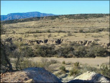
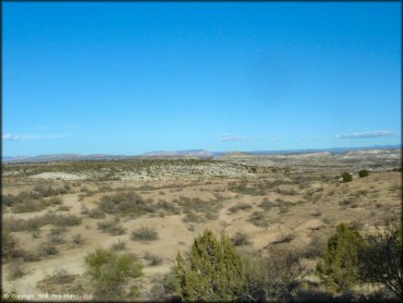
TERRAIN
| Approx Size | 80 acres | |
| Miles Of Trail | 56 | |
| Climate Type | Desert | |
| Elevation | 3200 to 3500 ft. | |
| Trail Maintenance | Marked, Rated, Lightly Maintained | |
| Loose Dirt |  None None | |
| Hard Pack |  Some Some | |
| Sand |  Mostly Mostly | |
| Mud |  Little Little | |
| Dust | Mostly | |
| Rocks | Some | trails get rockier the further you head toward the hills |
| Trees |  Few Few | |
| Steep Hills | Few | |
| Water Crossings | None | |
| Small Jumps | Few | |
| Large Jumps | None | |
| Berms | Few | trails near the staging area |
| Sand/Gravel Pits | None | |
| Single Track | None | |
| Roads | Some | |
| Intersections | Few | many intersections near the staging area |
| Rider Traffic | Few | |
| Shade | Few | gazebos at the staging area |
| Ranges/Gunfire | None | |
| Hazards | Few | (hazards not marked) steep drop-offs |
 Novice Novice | Mostly | |
 Amateur Amateur | Little | |
 Expert Expert | Little | |
| Comment | Expert terrain has a couple of steep chutes and some debris. The rolling hills around staging area are a lot of fun. | |
TYPE OF AREA
| Area | Motorized Trails |
| Land | National Forest |
GPS POINTS


KEY SERVICES
 Gasoline Gasoline | 1-5 Miles (S) | Chevron (928) 567-1463 |
| Diesel | 1-5 Miles (S) | Chevron (928) 567-1463 |
 Water Water | 1-5 Miles (S) | Chevron (928) 567-1463 |
 RV Hookup RV Hookup | 5-20 Miles (SE) | Distant Drums RV Resort (928) 554-0444 |
 RV Disposal RV Disposal | 5-20 Miles (SE) | Distant Drums RV Resort (928) 554-0444 |
| Campground | 5-20 Miles (N) | Dead Horse Ranch Campground (928) 634-5283 |
 Conv Store Conv Store | 1-5 Miles (S) | Chevron (928) 567-1463 |
FEES & PASSES
| Parking | Yes ($5.00) Free on Wednesdays |
| Entry | (None) |
| Riding | (None) |
| Camping | (None) |
RATINGS
| Pros | large variety of play areas around staging area, nice staging area - has gazebos, BBQ grills, restrooms, well kept, sand washes are fun, tot-lot is well made & fun |
| Cons | day use only, only one main trail, no single track |
| Our Rating |  Good Good |
| Recommended Stay | Half Day Spring |
| Comments | (Scroll Down For Rider Reviews & Comments) |
DRIVING DIRECTIONS
| Nearest City | Cottonwood, AZ | ||
| Address | Camp Verde-Bridgeport Highway, Camp Verde, AZ 86322 | ||
| From: Flagstaff, AZ
1) Take I-17 South to Exit 287 2) Turn right (north) off the exit ramp onto AZ-260, continue 5.4 miles. 3) Look for signs, staging area is on the left (west) and is visible from the road. |


OFFICIAL CONTACTS
| Contact Info | Prescott National Forest - Verde Ranger District P.O. Box 670 Camp Verde, AZ 86322 (928) 567-4121 mailroom_r3_prescott@fs.fed.us www.fs.usda.gov |
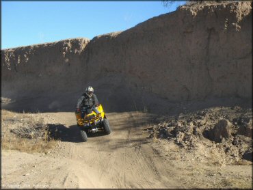
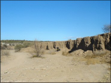
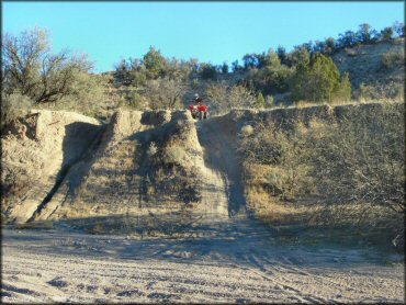
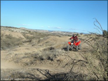
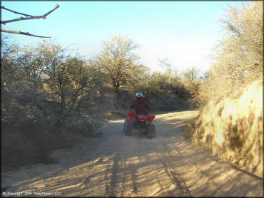
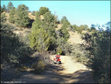
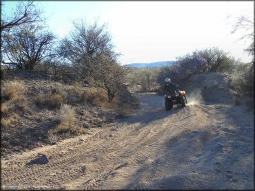
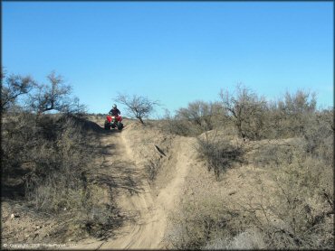
Hayfield Draw Trail Photo
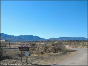
This is the main entrance to the park.
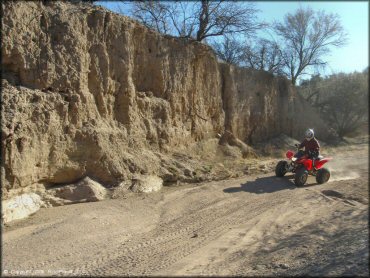
Hayfield Draw Trail Photo
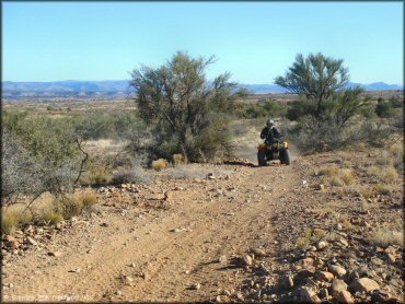
Hayfield Draw Trail Photo

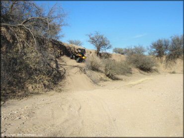
Hayfield Draw Trail Photo
Hayfield Draw Trail Photo
Hayfield Draw Trail Photo
Hayfield Draw Trail Photo
Hayfield Draw Trail Photo
Hayfield Draw Trail Photo
Hayfield Draw Trail Photo
Hayfield Draw Trail Photo
Hayfield Draw Trail Photo
Hayfield Draw Trail Photo
Hayfield Draw Trail Photo
Hayfield Draw Trail Photo
Hayfield Draw Trail Photo
Hayfield Draw Trail Photo
Hayfield Draw Trail Photo
Hayfield Draw Trail Photo
Hayfield Draw Trail Photo
Hayfield Draw Trail Photo
Hayfield Draw Trail Photo
Hayfield Draw Trail Photo
Hayfield Draw Trail Photo
Hayfield Draw Trail Photo
Hayfield Draw Trail Photo
Hayfield Draw Trail Photo
Hayfield Draw Trail Photo
Hayfield Draw Trail Photo
Hayfield Draw Trail Photo
RIDER COMMENTS & REVIEWS