 |
      |
| Home > California |

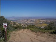
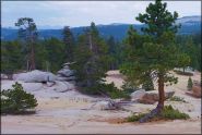
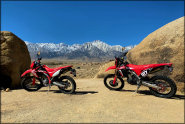 Alabama Hills
Status: Open
Type: Trail (BLM)
Location: Lone Pine, CA
Difficulty:

With unique landscape filled with colorful boulders and excellent views of Mount Whitney, it’s no wonder why Alabama Hills is one of the top film locations for major movie studios. More...
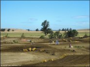
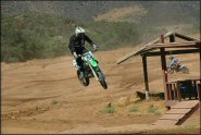
 Amago Sports Park
 Status: Open
Type: Track (Privately Owned / Commercial)
Location: Pauma Valley, CA
Difficulty:

This motocross park has three tracks that range from a main, beginner/vet track and a peewee. More...
 Argyll MX Park
 Status: Open
Type: Track (Privately Owned / Commercial)
Location: Dixon, CA
Difficulty:
This motocross park has a groomed main track that consists of adobe clay and silt featuring 50 foot and 70 foot doubles. More...
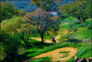
 Baldy Mesa
 Status: Open
Type: Trail (National Forest)
Location: Phelan, CA
Difficulty:
This popular area recently reopened after a period of closure due to fire damage. More...
 Ballinger Canyon OHV Area
 Status: Open
Type: Trail (National Forest)
Location: Cuyama, CA
Difficulty:
This popular off-road area has about 68 miles of marked and rated ATV trails on public land. More...
 Barker Meadow OHV Trail
 Status: Closed For Season
Type: Trail (National Forest)
Location: Tahoe City, CA
Difficulty:
This old logging road is about two miles long each way and is mostly hard packed with moderate elevation changes. More...
 Barona Oaks MX
 Status: Open
Type: Track (Privately Owned / Commercial)
Location: Ramona, CA
Difficulty:
This motocross park has been in business for over 35 years and offers a main and peewee track. More...
 Bee Canyon Truck Trail
 Status: Temporarily Closed
Type: Trail (National Forest)
Location: Hemet, CA
Difficulty:
This part of the San Bernardino National Forest features about 20 miles of easy to moderately challenging forest service roads that form several forks. More...
 Big Bear Lake
 Status: Open
Type: Trail (National Forest)
Location: Big Bear City, CA
Difficulty:
This high desert area offers about six miles of ATV trails and about 62 miles of surrounding 4x4 trails. More...
 Big Meadows
Status: Closed For Season
Type: Trail (National Forest)
Location: Miramonte, CA
Difficulty:
This part of the Sequoia National Forest offers miles of novice and moderately challenging trails and a small sand pit. More...
(Page 1 of 20)

Trail Hotline
Foresthill OHV
The Foresthill OHV Area open/closure status is determined based on soil moisture, therefore the status will change throughout the year (day to day) depending on weather conditions. For current updates check the hotline with a recorded message at (530) 367-2224 x228.
Details... Map...
Winter Deer Range Seasonal Closure
Georgetown
The Rock Creek - Southern Trails (Crossier Loop Critical Deer Winter Range) are currently closed for the season, which runs from November through May 1. For current updates check the trail hotline at (530) 333-4312 x2.
Details... Map...(Page 1 of 20)