 |
      |
| Home > California |

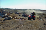
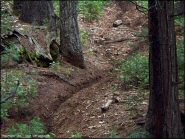 Crandall Peak And Deer Creek OHV Area
Status: Open
Type: Trail (National Forest)
Location: Mi-Wuk Village, CA
Difficulty:

This part of the Stanislaus National Forest offers about 40 miles of designated trails for motorcycles and 140 miles of forest service roads. More...
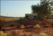 Crossroads OHV Area
Status: Open
Type: Trail (BLM)
Location: Parker, AZ
Difficulty:
This part of the Parker Strip features 1,500 acres open to offroad use. More...
 Cycleland Speedway
 Status: Open
Type: Track (Privately Owned / Commercial)
Location: Oroville, CA
Difficulty:
This park has a motocross track and a 1/8th mile clay oval track. More...
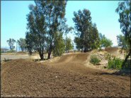
 Cyrus Canyon Motocross Track
 Status: Open
Type: Track (National Forest)
Location: Kernville, CA
Difficulty:

The Sequoia National Forest offers a nice 1.5 mile long natural terrain motocross track and a beginners area that is open to both quads and dirt bikes. More...
 Devil's Backbone
 Status: Open
Type: Trail (National Forest)
Location: Mad River, CA
Difficulty:
This part of the Six Rivers National Forest offers a forest service road that follows a scenic mountain ridge. More...
 Divide Peak OHV Route
 Status: Open
Type: Combo (National Forest)
Location: Santa Barbara, CA
Difficulty:

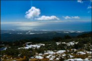
This part of the Los Padres National Forest offers around 12 miles of trails that provide excellent views of Santa Barbara, Pacific Ocean, Channel Islands and surrounding mountains. More...
 Dove Springs
 Status: Open
Type: Trail (BLM, National Forest)
Location: California City, CA
Difficulty:
Located on over 5,000 acres of public land, this is the novice-friendly sister to nearby Jawbone Canyon. More...
 DT1 MX Park
 Status: Open
Type: Track (City Land)
Location: Tulare, CA
Difficulty:
Built on top of an old landfill, this large motocross park offers a main, vet, peewee, kids mini and BMX track. More...
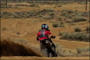
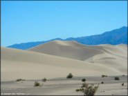 Dumont Dunes
 Status: Open
Type: Combo (BLM)
Location: Baker, CA
Difficulty:
This popular desert area offers 8,150 acres of dunes and open sand riding. More...
 El Mirage Dry Lake OHV Area
 Status: Open
Type: Trail (BLM)
Location: Adelanto, CA
Difficulty:
This is a large and open area located in the Mojave Desert that consists of a dry lake bed, miles of surrounding sand washes, desert trails and scattered play areas that are open to all off-road vehicles. More...