 |
      |
| Home > Wisconsin |

 Solberg Trail
Status: Open
Type: Trail (National Forest, County Land)
Location: Phillips, WI
Difficulty:

This multiple use trail is 9.5 miles long and begins near Solberg Lake but heads north and eventually ties into the Flambeau Trail System. More...
 Sugar Maple MX
Status: Open
Type: Combo (Privately Owned / Commercial)
Location: Hill Point, WI
Difficulty:
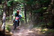
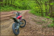
This natural terrain track is about 1.5 miles long and consists of loamy soil, sand and clay. More...
 The Tamaracks OHM Trail
 Status: Open
Type: Trail (County Land)
Location: Conover, WI
Difficulty:
This trail system features 22 miles of mixed skill OHM trails that are marked and rated. More...
 Tigerton OHV Park and Campground
 Status: Open
Type: Combo (Privately Owned / Commercial)
Location: Tigerton, WI
Difficulty:

This offroad park has about 30 miles of wooded ATV trails and a motocross track. More...
 Tri-County Trails
 Status: Open
Type: Trail (County Land)
Location: Monroe, WI
Difficulty:
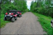
Open year-round, this multiple use trail system offers about 60 miles of trails that wind through three counties. More...
 Tuscobia State Trail
 Status: Closed For Season
Type: Trail (National Forest, State Forest)
Location: Park Falls, WI
Difficulty:
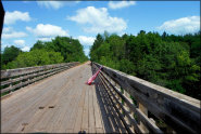
Once an abandoned railroad grade, this well maintained gravel trail is now open to both ATV and UTV use. More...
Washburn County Status: Open
Type: Trail (County Land)
Location: Shell Lake, WI
Difficulty:
This trail system offers over 100+ miles of mostly hard packed gravel roads that heads north and east, eventually connecting into the Wild Rivers Trail. More...
Wheeler Motocross Park Status: Open
Type: Track (Privately Owned / Commercial)
Location: Wheeler, WI
Difficulty:
This 160 acre motocross facility has two groomed and maintained motocross tracks and one separate pee-wee track. More...
 Wild Rivers Trail
 Status: Open
Type: Trail (County Land)
Location: Minong, WI
Difficulty:
Over 100 miles long, this old abandoned C&NW (Chicago and North Western) railroad grade has been converted into a multiple use trail that runs north and south through Douglas, Washburn and Barron counties. More...