 |
      |
| Home > Oregon |
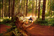
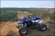
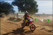 Albany Motor Sports Park
Status: Open
Type: Track (Privately Owned / Commercial)
Location: Albany, OR
Difficulty:

The track here changes regularly and it is groomed and rock/dust free. More...
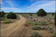
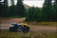
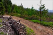 Blue Mountain OHV Trails
Status: Open
Type: Trail (National Forest)
Location: Unity, OR
Difficulty:

This part of the Wallowa-Whitman National Forest offers one main OHV trail that is about 50 miles long with several short side loops. More...
 Blue Ridge Trails
Status: Open
Type: Trail (BLM)
Location: Coos Bay, OR
Difficulty:
These trails are mostly single track and are marked, rated and frequently maintained. More...
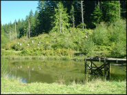
 Browns Camp OHV Area
 Status: Open
Type: Trail (State Forest)
Location: Forest Grove, OR
Difficulty:
This is the eastern most OHV campground in the Tillamook State Forest and is the recommended staging area for novice and amateur OHV riders. More...
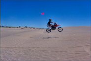 Christmas Valley Sand Dunes
 Status: Open
Type: Dune (BLM)
Location: Christmas Valley, OR
Difficulty:
This area (open year-round) mainly consists of medium sized dunes with some fun sand bowls. More...
 Cline Buttes Recreation Area
 Status: Open
Type: Trail (BLM)
Location: Redmond, OR
Difficulty:
This high desert area offers about 1,200 acres of multiple-use trails. More...
 Crane Mountain OHV
Status: Closed For Season
Type: Trail (National Forest)
Location: Lakeview, OR
Difficulty:
Fire roads and logging trails make up most of this area. More...
 Crooked Finger OHV Trails
 Status: Open
Type: Trail (State Forest, Private)
Location: Scotts Mills, OR
Difficulty:
This property has about six miles of ATV trails that form several loops. More...
 Diamond Lake
 Status: Closed For Season
Type: Trail (National Forest)
Location: Crescent, OR
Difficulty:
This part of the Umpqua National Forest offers miles of ATV and UTV trails that wind near a pristine lake. More...
 Diamond Mill OHV Area
 Status: Open
Type: Trail (State Forest)
Location: Tillamook, OR
Difficulty:
From the novice play ride area surrounding the campground, to the logging runs to the peak with great views, to the deep woods single track, to the steepest crustiest climbs in Tillamook, this area has something for everyone. More...
(Page 1 of 7)
(Page 1 of 7)